Shaping A Connected, Intelligent World Together!.
Satellite remote sensing allows you to see more

About Us – Mapz Solutions
At Mapz Solutions, we leverage cutting-edge drone technology to provide innovative geospatial solutions. Our expertise includes aerial surveying and mapping, as well as advanced LiDAR scan missions. Whether generating precise topographic maps, conducting high-resolution 3D terrain analysis, or supporting infrastructure projects, we deliver efficient, accurate, and cost-effective results.
By combining industry-leading technology with our deep understanding of geospatial data, we empower businesses to make informed decisions, improve operational efficiency, and enhance safety. With a commitment to excellence and innovation, Mapz Solutions continues to redefine the possibilities of aerial surveying and geospatial intelligence.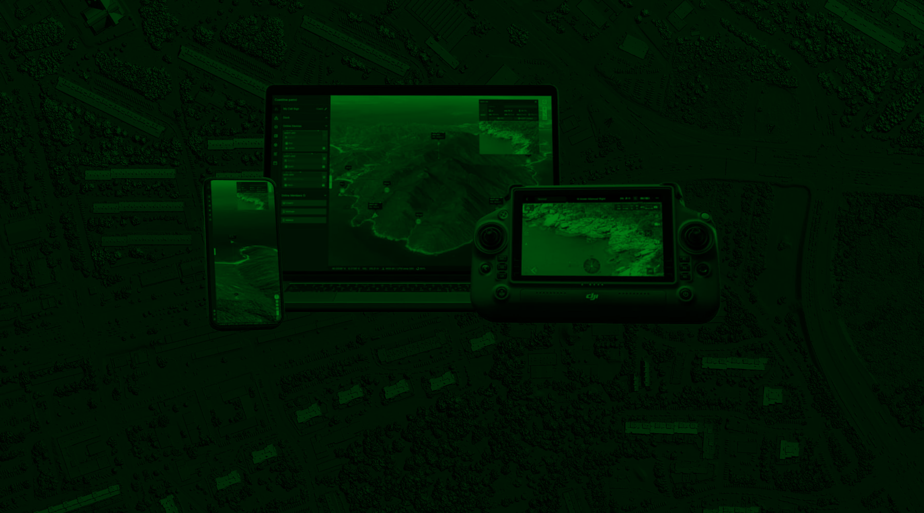
Our Products
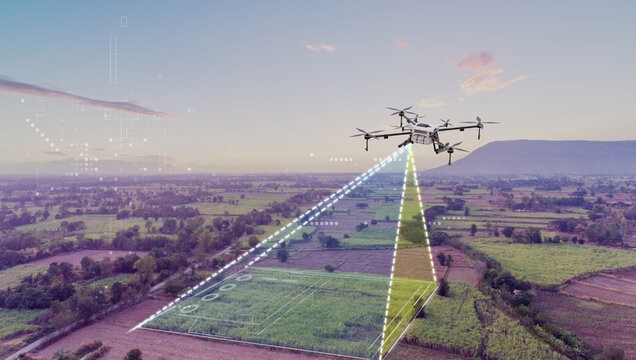
Aerial Surveying and Mapping
Aerial surveying and mapping services to provide accurate 2D maps and 3D models you can rely on to plan and monitor the execution of your projects in a cost-and-time effective manner.
* Photogrammetry Missions
* 3D Visualization
* 2D Maps
* Ground Penetrating Radar Surveys
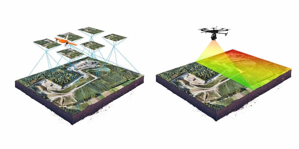
LiDAR Scan Missions
Aerial surveying using LiDAR technology to create topographic maps and Laser Pointcloud models in superior accuracy.
*UAV Based LiDAR Scan PointCloud Visualization
*High-Precision Topographic Mapping
*3D Modelling
*Stockpile and Volumetric Assessment
*3D Vegetation Modelling
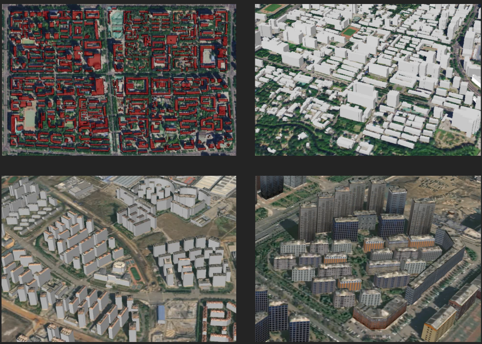
Urban 3D Scene Construction
Based on optical stereo satellite images, it is possible to automatically construct three-dimensional models of buildings, providing efficient, intelligent, and low-cost technical solutions for the construction of digital cities and digital twins.
Natural Resource Monitoring
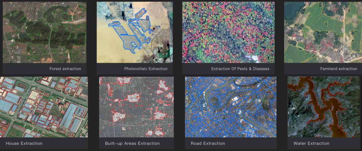
Providing automatic and semi-automatic intelligent extraction of land features such as buildings, roads, water bodies, cultivated land, and forest land, surface cover classification, and single element and multi element change monitoring capabilities,
which can be applied to natural resource investigation and monitoring.
* Forest Extraction
*Farmland Extraction
* Photovoltaic Extraction
*Extraction of Pests & Diseases
*House Extraction
*Built-up Areas Extraction
*Road Extraction
*Water Extraction